The Ultimate 5100km Solo Drive: I Ended Up in Hospital at 4500m & Still Say G317 Is Worth It – Here’s Exactly How to Survive It PART 5

Day 12: Lhasa to Naqu
After finishing the classic route from Chengdu to Lhasa, plus a beautiful loop from Lhasa to Shigatse and back (the scenery on the second day of that loop was absolutely stunning), most travelers would call it a day. For the vast majority of people, completing even the legendary G318 (Sichuan-Tibet Southern Route) is already a huge achievement. Many choose to fly out from Lhasa or take the Qinghai-Tibet Railway home.
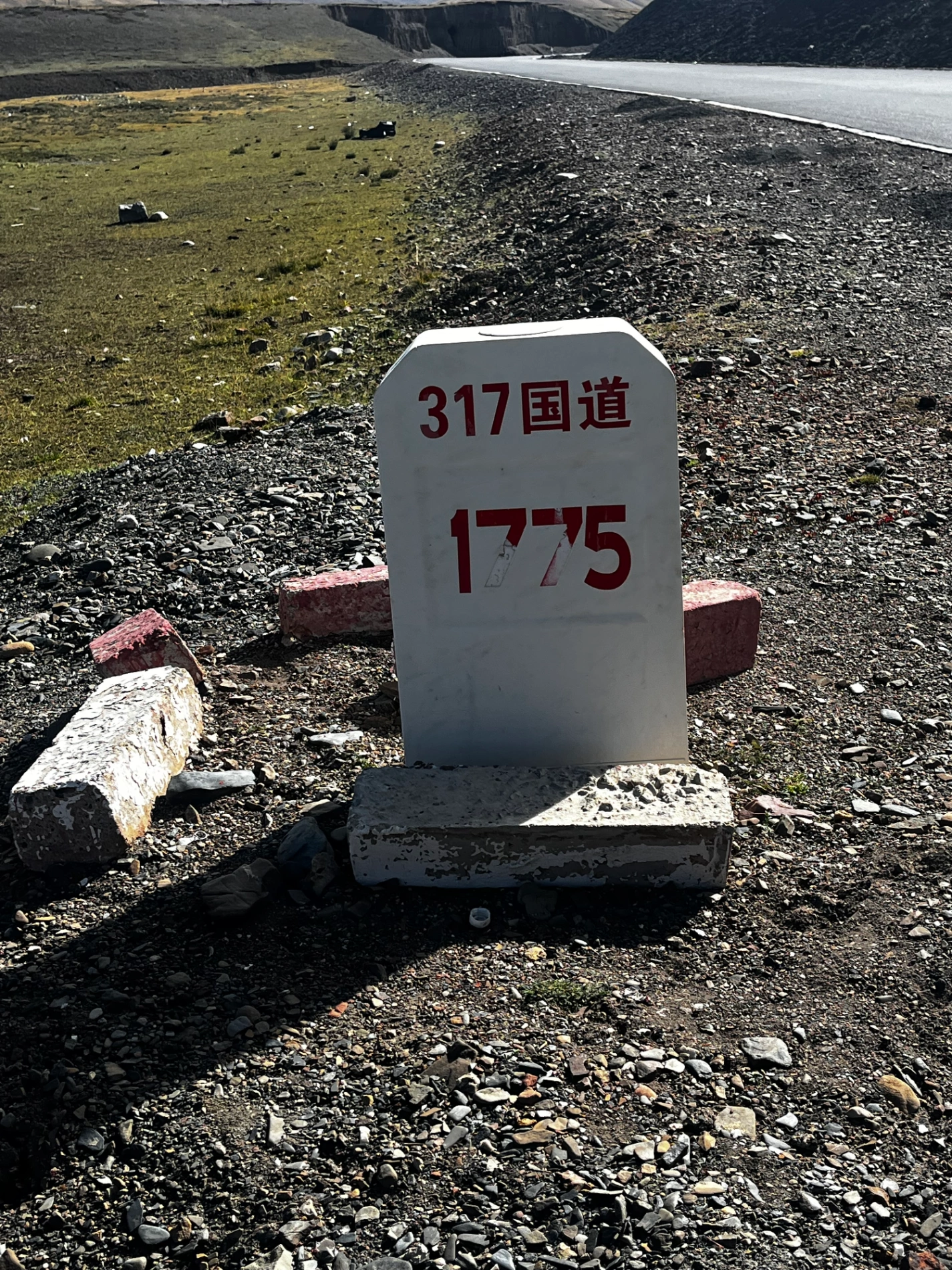
But not me—I still had to complete the G317, the legendary Sichuan-Tibet Northern Route.
While the Southern Route (G318) is famous for its dramatic, knife-edge mountains and heart-stopping drops, the Northern Route (G317) feels vastly open, almost endless, with rolling grasslands, snow-capped peaks, and ancient temples everywhere. The moment you leave Lhasa heading north toward Naqu, you pass through places like Dingqing and Leiwuqi and enter a world deeply influenced by Bön religion—Tibet’s indigenous faith.
Compared to the busy, sometimes tourist-heavy southern line, the north feels quieter, more mysterious, and spiritually richer. If the south is about jaw-dropping natural scenery, the G317 Northern Route is the path for those who want to touch the soul of old Tibet.
So yes—**G318** for landscapes, G317 for culture and humanity.
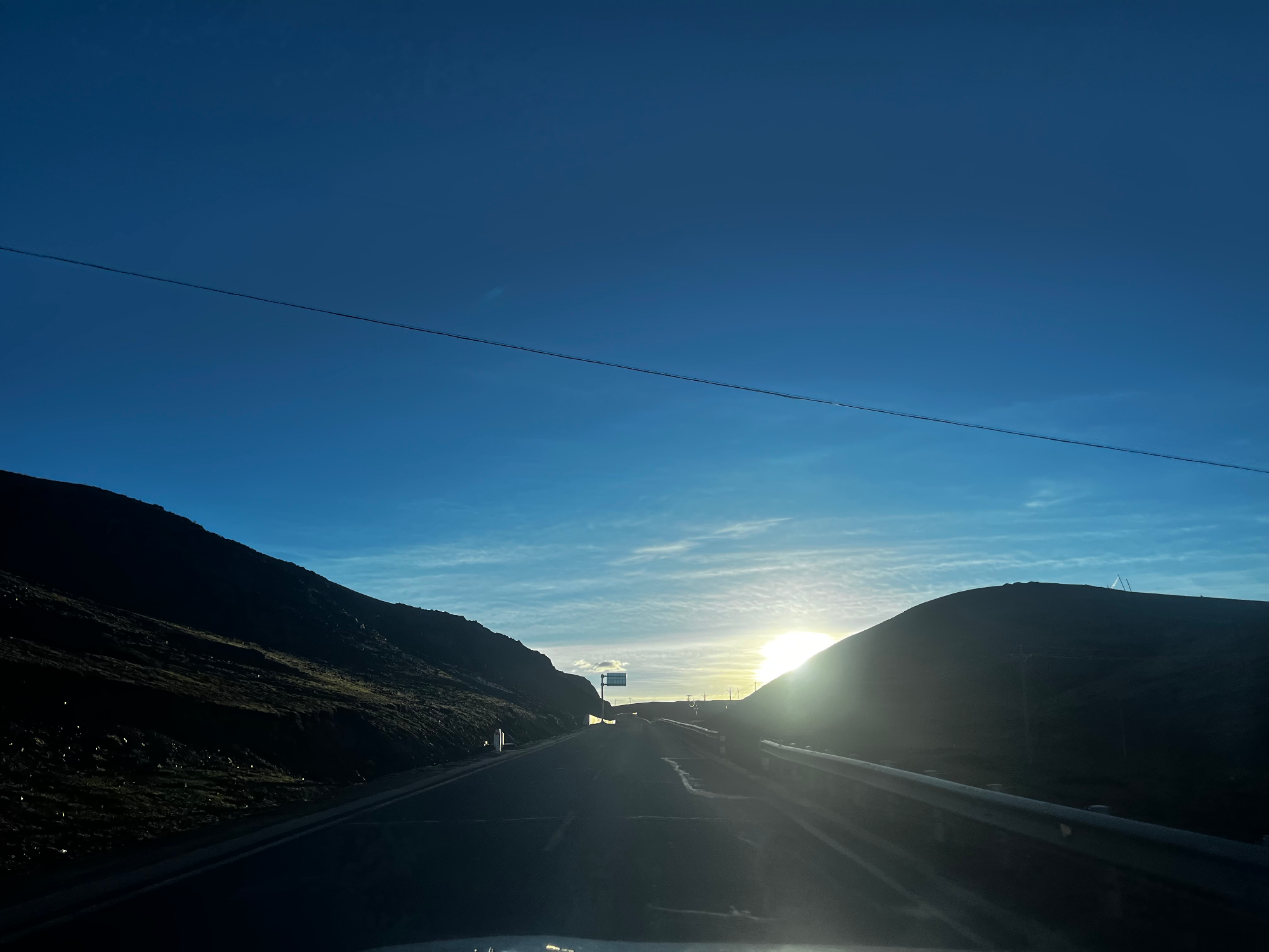
Lhasa sits at about 3,650 meters. As soon as you head north, the altitude climbs steadily.
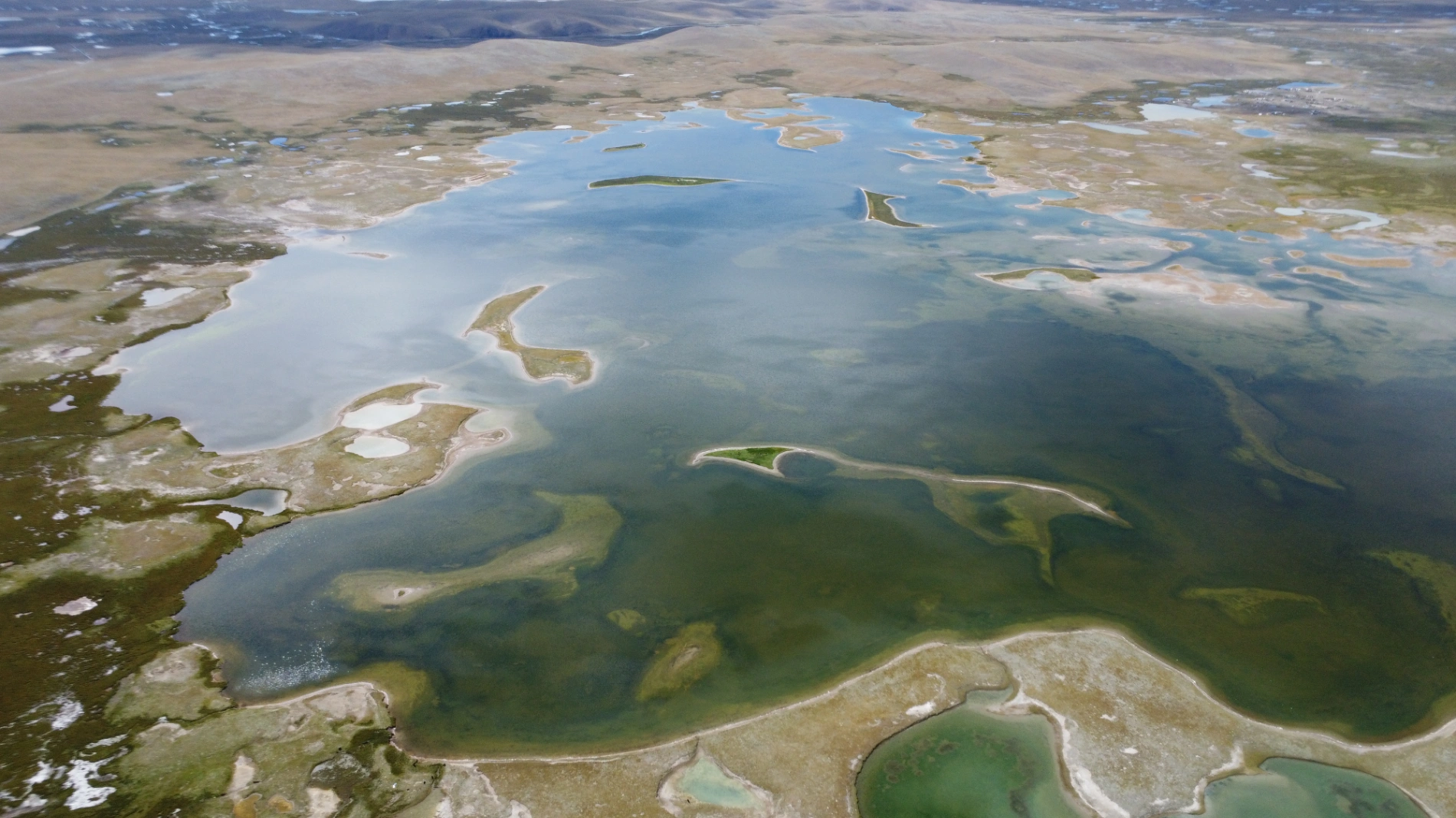
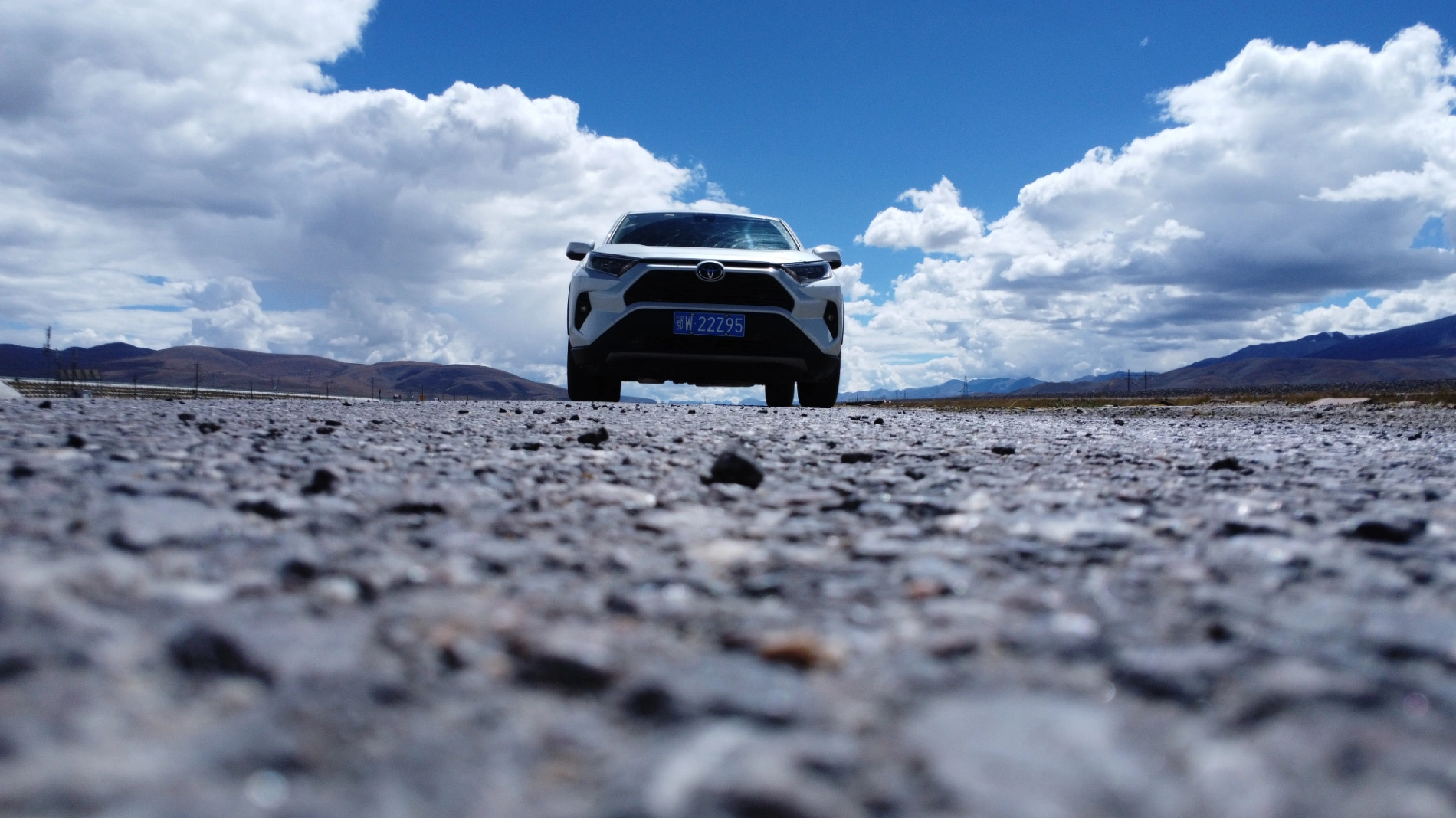
I had originally planned to detour to Namtso Lake, one of the three holy lakes of Tibet, but I was driving a rented car. The rental company had already warned me when I picked up the car: “Whatever you do, don’t go to Namtso.” Police checks around the lake are extremely strict—if your rental car isn’t registered as a legal tourist vehicle, they will impound it. In practice, they usually just seize the car (fines and detention are rare), but that’s still a disaster when you’re in the middle of nowhere. So I reluctantly skipped Namtso and stuck to the main G109 north.
Missing Namtso stung a little, but it also gives me the perfect excuse to come back next time.
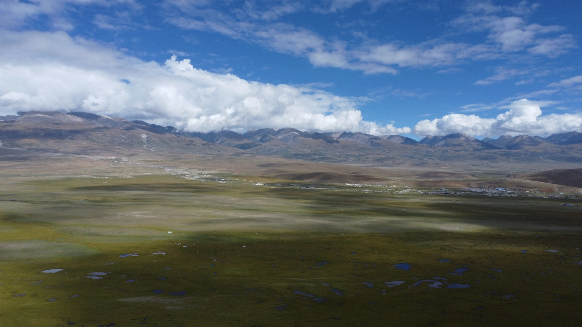
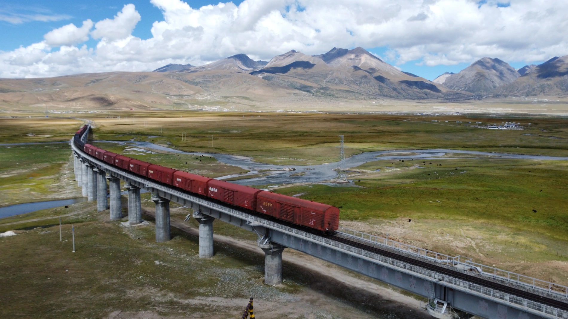
The drive from Lhasa toward Naqu immediately feels immense. From Lhasa to Yangpachen (around 4,300 meters), you’re climbing the whole way. Once past Yangpachen, the landscape opens up into endless plateau. The Qinghai-Tibet Railway runs parallel in many sections—coming all the way from Xining through Golmud, over the mighty Tanggula Pass, down to Naqu, then Yangpachen, and finally Lhasa.
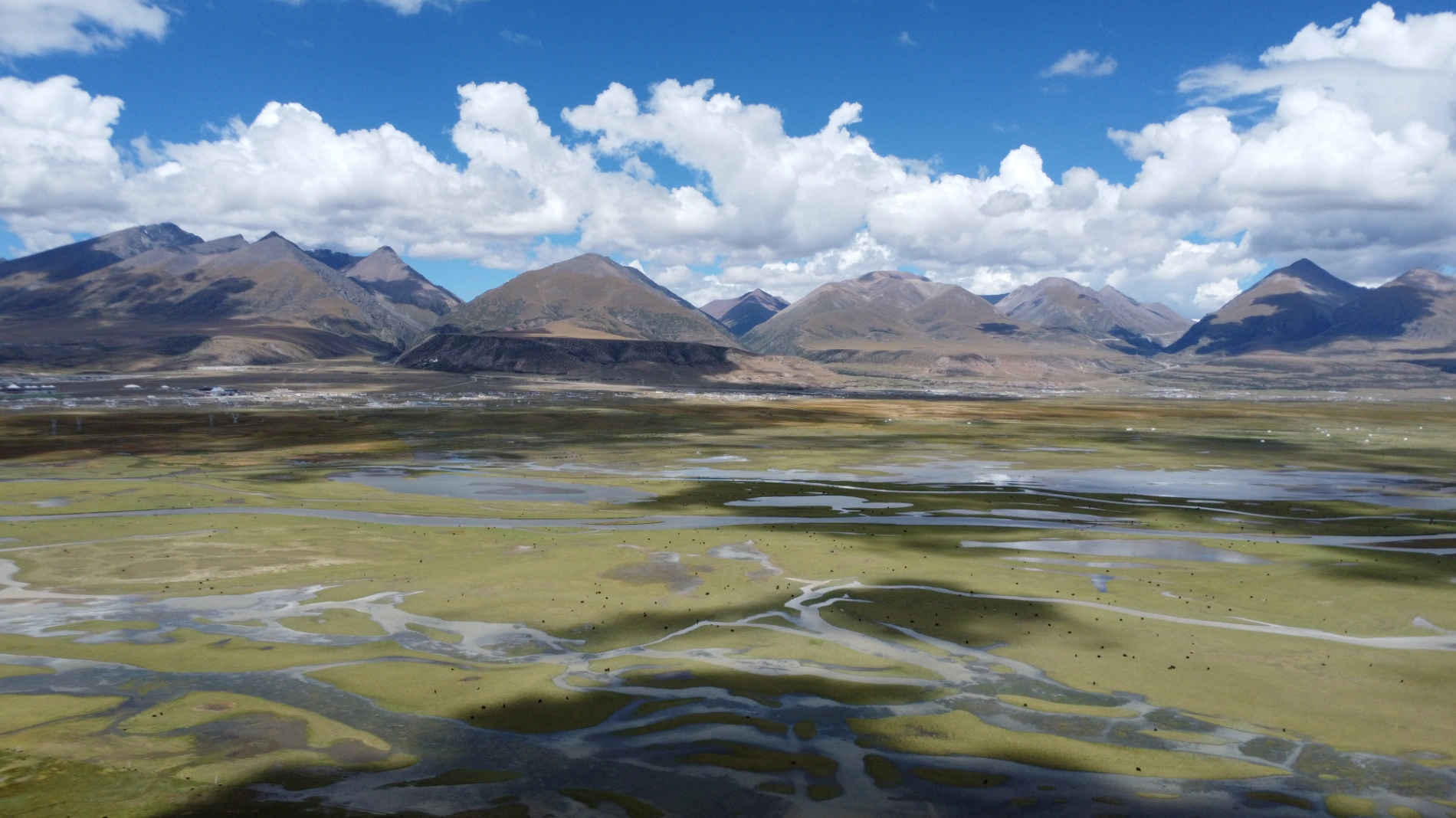
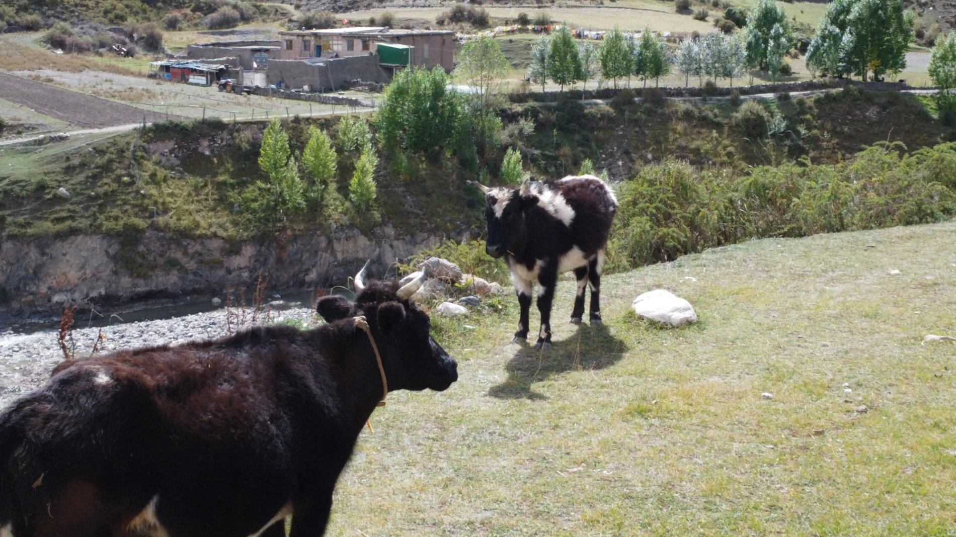
Northern Tibet is high and cold, so very few people live here permanently. Fewer people = fewer temples, and the ones that exist are usually smaller and simpler than the grand monasteries of the southern route.
After passing the Nyenchen Tanglha Mountains viewpoint, I soon spotted the famous Eight Pagodas of Northern Tibet. These eight white stupas stand solemnly on the vast Qiangtang Grassland, with razor-sharp snow peaks rising in the distance. Built along the slope, they represent the eight major events in the Buddha’s life. Colorful prayer flags dance in the wind, carrying the wishes of countless pilgrims.
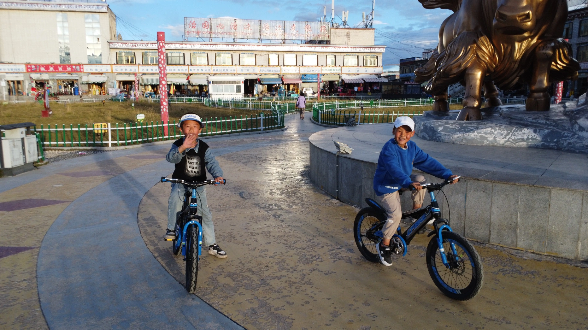
I rolled into Naqu town around 4 PM. During the day I barely felt any serious altitude sickness.
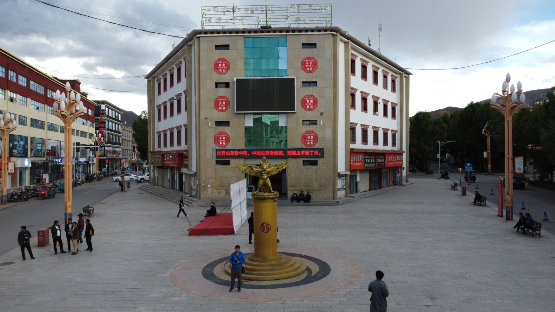
After checking into the hotel and resting a bit, I took a taxi downtown, strolled around, and flew my drone over the main square. A group of curious local kids gathered to watch. I ended up taking photos of them—they were absolutely delighted.
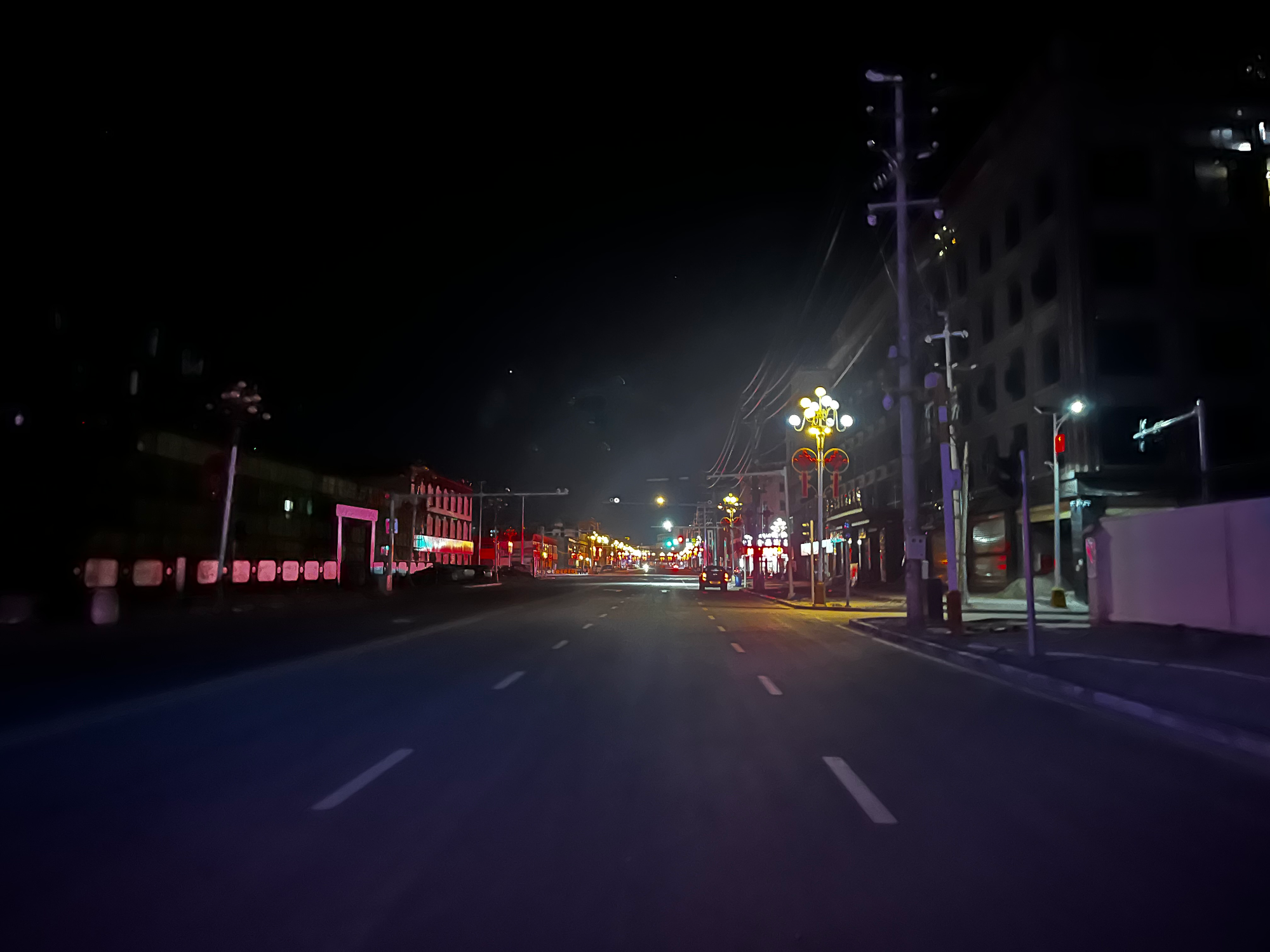
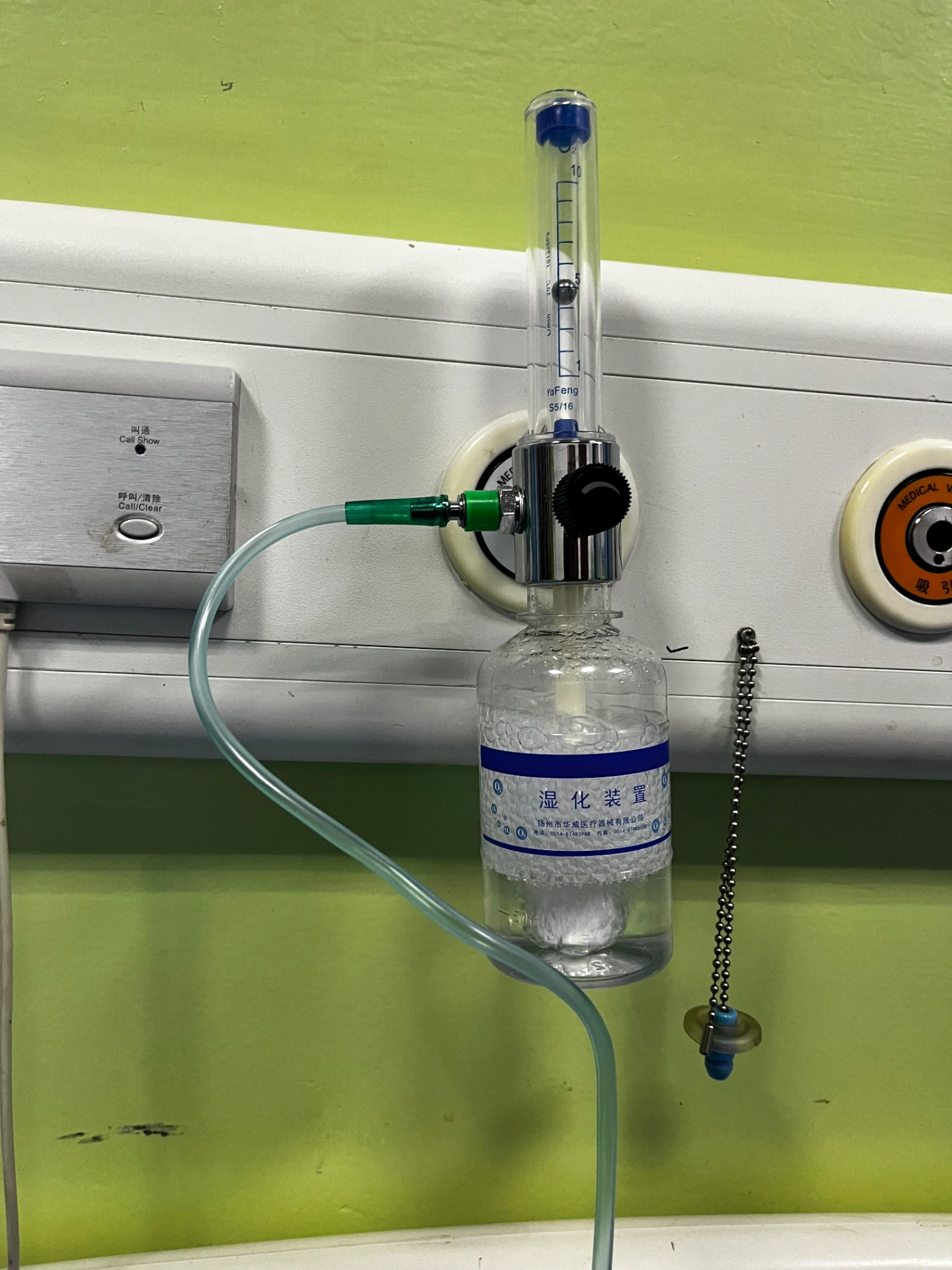
Back at the hotel, disaster struck. This particular hotel did not provide supplemental oxygen (many in Naqu don’t), and the room layout was terrible—after stepping out of the bedroom you had another internal corridor, then the bathroom blocking any direct outside window. Zero ventilation. At 4,500 meters—the highest overnight elevation of my entire trip—the lack of fresh air hit hard. By 11 PM I couldn’t sleep at all, my head was spinning, and I felt seriously oxygen-deprived (still not life-threatening, but extremely uncomfortable). At 12:09 AM I gave up, jumped in the car, and drove myself to the hospital for oxygen.

Day 13: Naqu → Suo County
The nearest hospital was Senni District People’s Hospital, but when I arrived it was completely empty—no staff on night shift. So I drove to the bigger Naqu City People’s Hospital. They checked my blood oxygen immediately and hooked me up. After just 10–15 minutes of pure oxygen, I already felt 70% better. The doctor asked if I wanted one hour and go back, or stay until morning. I chose morning. I ended up sleeping on the oxygen until 6 AM—perfectly fine, no interruption to rest.
Left the hospital while it was still dark, packed quickly, and hit the road early. The only real cure for altitude sickness is descending, so the sooner I dropped elevation, the better.
I took the G109 south toward Damxung, and sure enough, as the altitude slowly fell, I started feeling human again. Quick tip: when mild symptoms hit, sipping glucose water actually helps quite a bit.
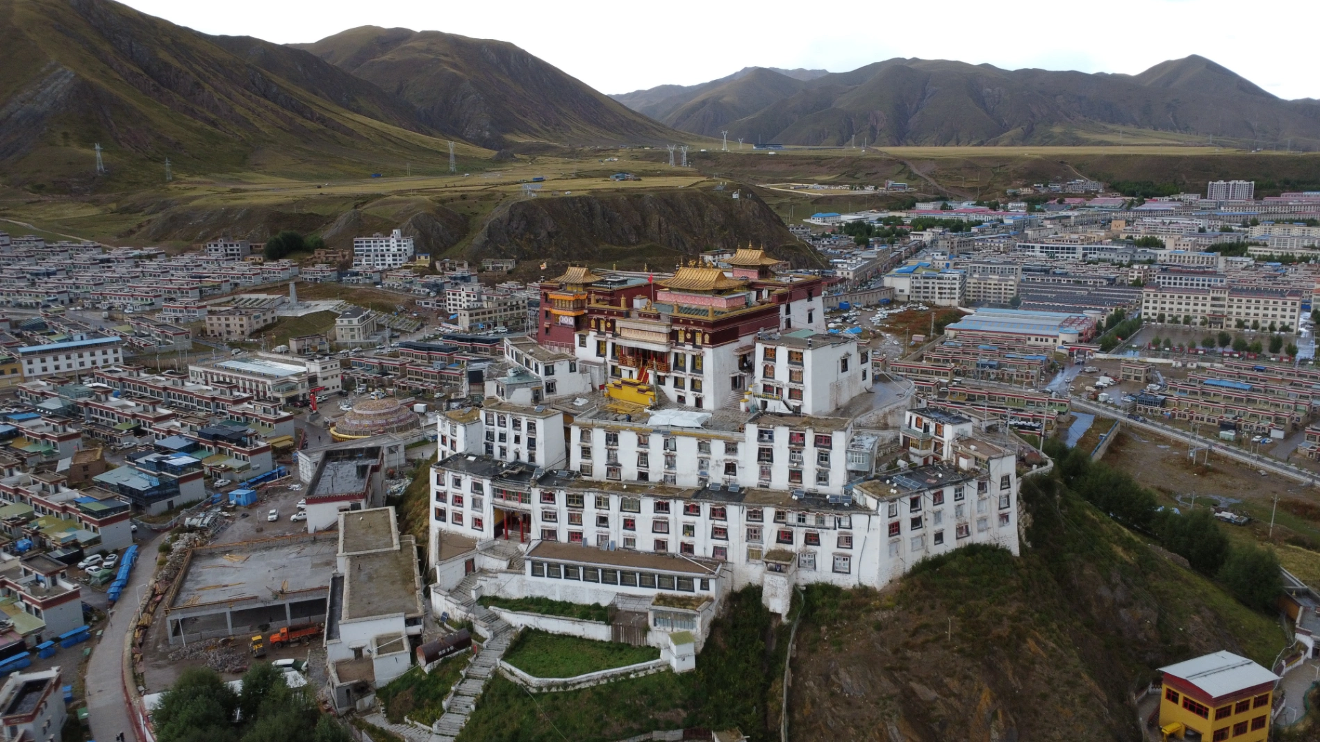
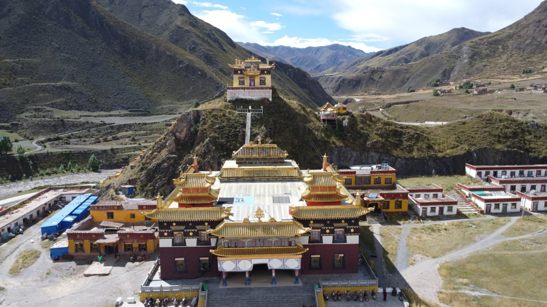
Today’s destination was Suo County at around 3,800 meters—a significant relief from Naqu. After checking in and resting, I drove to the stunning Zandan Monastery. Built against the hillside, its red-and-white halls glowed under the afternoon sun. I climbed the long flight of steps without any shortness of breath—proof that dropping even 700 meters makes a world of difference.
Day 14: Suo County → Dingqing
Woke up to the peaceful morning chants drifting from Zandan Monastery—pure magic.
I always sleep early on the plateau, so I was on the road by a little past 8 AM.
First stop: Bujia Snow Mountain Glacier. The last few kilometers are on a small dirt road. I arrived super early and had the entire viewpoint to myself. The distance from the platform to the glacier tongue is only about 1 kilometer—way closer than the famous Lagu Glacier viewpoint on the southern route.
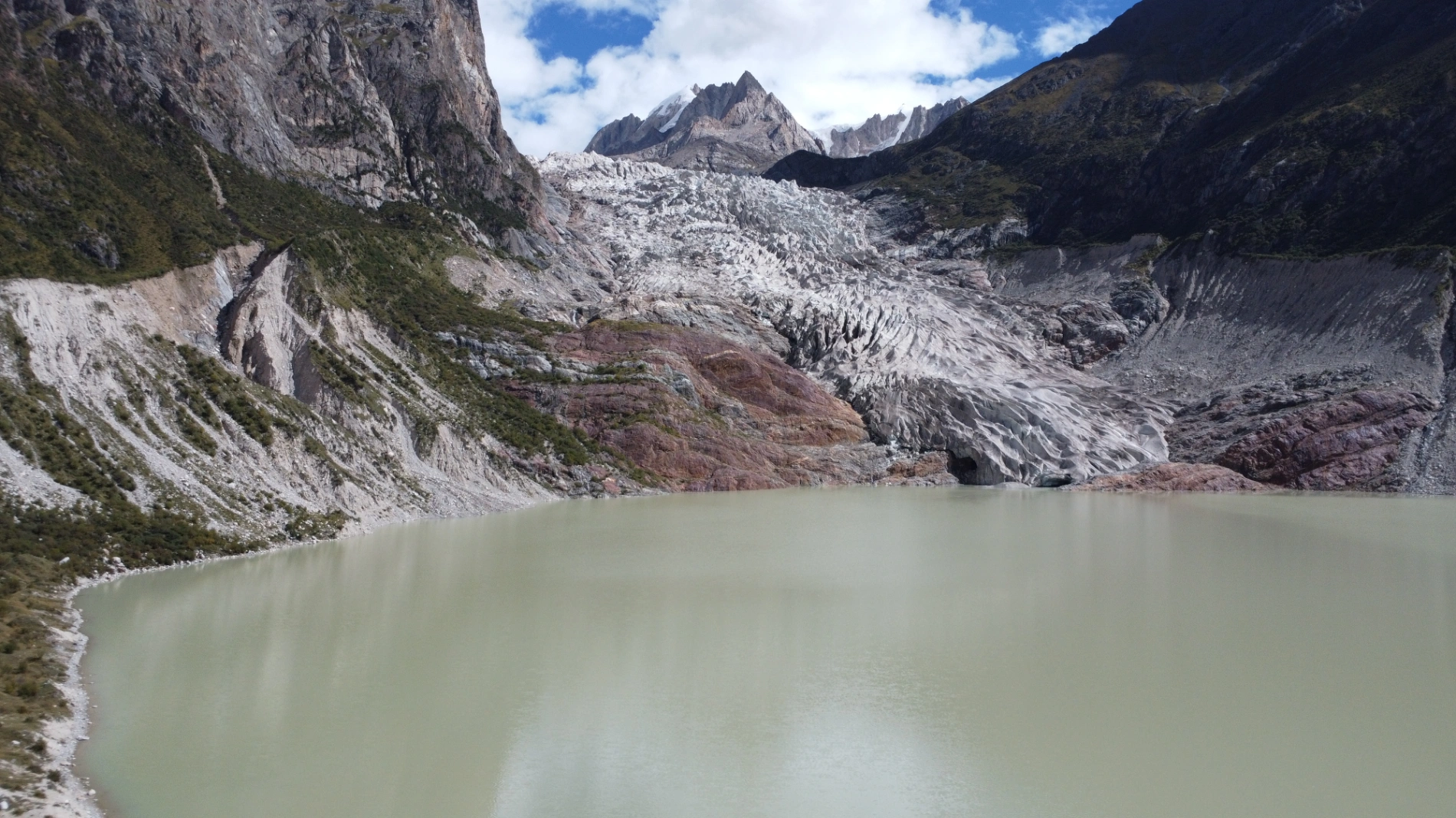
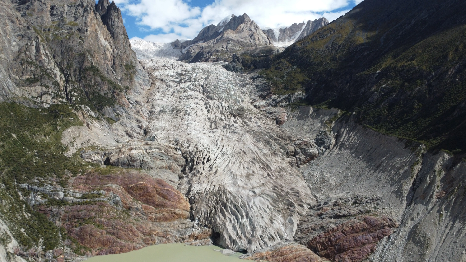
If you want an intimate, up-close glacier experience with almost zero crowds, Bujia Glacier is far better. It’s still relatively undeveloped, and the ticket is only 35 yuan. Traffic on the entire G317 is roughly one-third that of the G318, especially outside peak season.
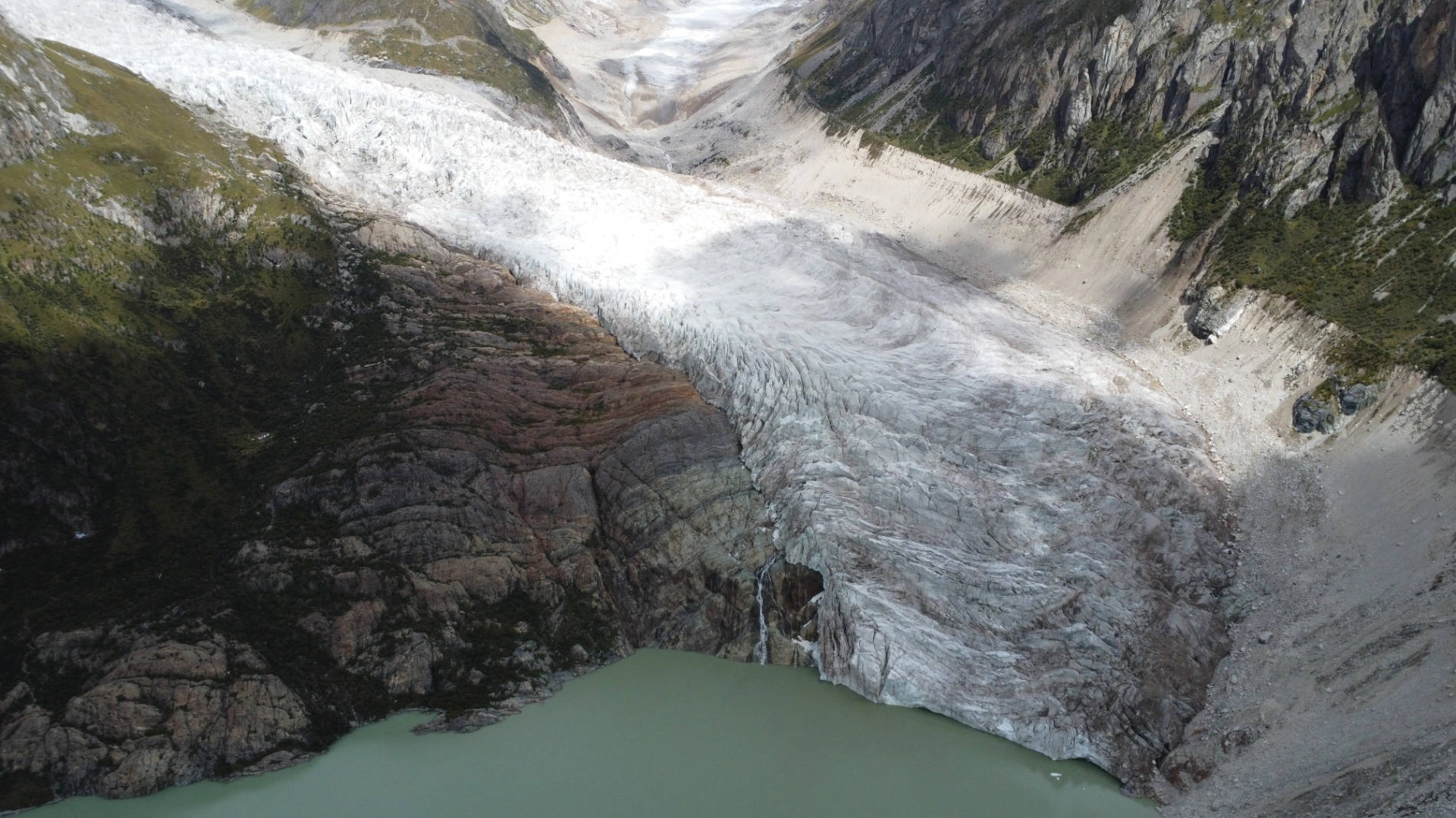
I sent my beginner-level drone up—cautiously. It doesn’t have great obstacle avoidance, so I kept a safe distance. Better safe than crashing into a glacier and losing the machine forever!
After landing, I sat on the platform enjoying the silence when a lovely retired couple from Shanghai pulled up. They’re living the dream—pension in hand, self-driving all over China. This is becoming super common among retirees from big cities. To my surprise, they pulled out their own drone—much more advanced than mine, with better zoom and obstacle avoidance. Watching their live feed of the glacier details made me think: yep, good gear is worth every penny! The better my equipment becomes, the more spectacular free 4K/8K footage I can share with all of you.
They kept flying while I moved on to the next stop.
On the way I passed a beautiful temple, flew the drone again, then napped behind it. Only from the air did I realize it was a nunnery—quite rare in Tibet. (A few days later I visited Yachen Gar, the largest nunnery in western Sichuan—story coming soon!)
Reached Dingqing town around 4 PM, checked in, and walked around. Even here, at nearly 3,900 meters, there’s a Mixue Bingcheng—China’s king of affordable milk tea has truly conquered the plateau!
There’s a saying: “For cordyceps in the world, look to China; for cordyceps in China, look to Tibet; for cordyceps in Tibet, look to Dingqing.” This place is the undisputed capital of wild Tibetan cordyceps.
At 3,500–3,900 meters, I finally slept without any worry about altitude sickness.
Final Thoughts on the Lhasa–Changdu Section of G317 Northern Route
- Average elevation is higher than the G318 southern route.
- Road surface is smoother and flatter, far fewer steep climbs and descents.
- Traffic is dramatically lighter—fewer trucks, fewer cars, much more relaxing to drive.
- The biggest challenge is altitude sickness. If you already struggle to sleep at 3,500–3,800 meters, I honestly don’t recommend the northern route—safety first—unless you stay in oxygen-supplied hotels at high-altitude stops.


(The above two elevation maps are sourced from the internet. Please contact me if there is any infringement. Thank you.)
Pro Tips:
- In high-elevation towns, book oxygen-supplied hotels every night (usually 200–300 yuan more; for foreign-guest hotels it can be significantly higher).
- Before leaving Lhasa, get your car fully checked—breakdowns on the northern route are expensive and time-consuming because repair shops are few and far between.
- If you’re sensitive to altitude, bring several portable oxygen cans/bags—they can literally save the night. My body tolerates plateau pretty well; I only suffered that one night in Naqu, and had zero issues during the day, so I didn’t carry any.

Bottom line: Know your limits, prepare accordingly, and the G317 will reward you with some of the most profound and peaceful scenery in all of Tibet.
(End of Part 5)
Comments (0)
CC BY-NC-ND 4.0 License
Credit to Gerry Hu / ChinaTravelPDF
No commercial use
No modifications allowed
Unlock Remaining 70% Premium Content
This is a VIP Exclusive Article. Become a lifetime member to unlock all VIP articles and all available city guides.
🎁 1 Year Free Expert Q&A Support (Early Bird Exclusive - First 500 Only)
China National Highway 318
20 Must-Visit Attractions You'll Regret Missing (FREE PDF)
Related Articles

The Ultimate 5100km Solo Drive: Leaving Tibet via G317 – Jinsha River, Dege Parkhang & 19-Day Goodbye – PART 6
In Part 6, the traveler departs Tibet via G317 after entering via G318, focusing on the eastward journey from Dingqing through eastern Tibet into Sichuan over several days. From Dingqing to Changdu on Day 15, the route includes skipping the bumpy, unpaved 11 km dirt road to Zizhu Temple at 5,000 meters due to poor conditions, opting instead for drone shots of the temple on Zizhu Mountain. Stops feature the massive Naicha Mani Stone Pile, a 3 km-long sacred site where pilgrims pray, and Qiangbalin Temple, the largest in Kham with roots in the Ming Dynasty. Evening brings a serene stroll at Qiangbalin Square, witnessing the crystal-clear Zhaqu River merging with the muddy Ngomqu to form the Lancang River (Mekong). On Day 16, from Changdu to Dege, the path crosses the Jinsha River (upper Yangtze) at the Sichuan-Tibet border, passing solar farms, red Aga-soil houses, and the Gangtuo 18th Army Crossing Memorial Hall. Entering Sichuan after a checkpoint, Dege offers peace, with a night visit to the majestic Dege Parkhang, a historic Tibetan printing house emitting chants and printing scents. Day 17 detours via Baiyu for superior scenery along Jinsha River, visiting Yanbi Village's mural, Jinsha River First Bend confluence, Baiyu Temple atop a steep climb with prayer wheels and incense, Changtai Grassland, Yachen Gar (largest nunnery in western Sichuan, remote and tranquil), and Lalong Cuo Lake, a shrinking tectonic lake with salt flats and herder tents. The route includes Zhuo Da La Mountain's photo spot and a long tunnel descent to Garzê County. Day 18 covers Garzê to Maerkang with gentle downhill, autumn colors, monkey encounters, and cautious navigation through extensive gravel construction zones with rockfall risks. The 19-day trip concludes on Day 19 with a smooth expressway drive to Chengdu, reflecting on plateaus, monasteries, and inner calm. Survival tips include early starts to avoid packed schedules, confident driving for narrow, steep accesses like Baiyu Temple, careful slow driving on unpaved or gravel sections, drone use limited by altitude, and awareness of high-plateau winds, cold, and emotional reluctance at borders.

The Ultimate 5100km Solo Drive: 4 Defining Days (5-8) Navigating the G318/G317's Highest Passes Part 3
In Part 3, the journey crosses from Sichuan into Tibet, starting in Batang (2,800 m) and entering via the Jinsha River Bridge into Mangkang, surrounded by flaming-red mountains. Day 5 involves conquering three high passes—Yela Shan, Jueba Shan, and Dongda Shan (5,130 m, the highest on G318 & G317)—with elevations up to 5,130 m, followed by a downhill to Zuogong (3,750 m). Precautions include watching for landslides and mud-rock flows. Day 6 features foggy starts in Zuogong, a revisit to Yela Shan (4,658 m), and the terrifying Nu River 72 Turns with narrow roads, crumbling rocks, sheer drops, potholes, and a 3-hour traffic jam from a landslide. Attractions include Bangda Grassland viewpoint. Overnight in Basu. Day 7 offers rewards like Ranwu Lake at sunrise (mirror-calm waters reflecting peaks) and Laigu Glacier (gigantic white glacier with boardwalk), with drone tips for cold winds. Day 8 includes Sutong Horseshoe Bend on Palong Zangbo River, Lulang Gongcuo Lake, Lulang Forest Sea, and Sejila Mountain (4,728 m). Ends in Nyingchi (Linzhi), Tibet's mild "Jiangnan." The Batang to Basu segment (~360 km) crosses three rivers (Jinsha, Lancang, Nu) and four major passes (Lawu at 4,338 m, Jueba at 3,940 m, Dongda at 5,130 m, Yela at 4,658 m), noted as the most epic and demanding. Advice: Check road conditions nightly via WeChat, avoid tired driving, book hotels and parking ahead, especially for plateau inexperience.

The Ultimate 5100km Solo Drive: Sacred Lakes, Mila Pass & The Guide to High-Altitude Safety PART 4
In Part 4, the journey covers the drive from Nyingchi to Lhasa via Mila Pass (5,013 meters), a key climatic divide where altitude sickness must be monitored. The author exits the expressway to take the national highway for the pass, enjoying its tranquil setting with prayer flags and snow-capped mountains, then descends while flying a drone outside restricted zones to capture the Yarlung Tsangpo River's shallow riverbed and sandbanks. From Lhasa, the route shifts to the G318 National Highway to Shigatse, offering scenic views of the river, farmlands, and mountains at the Qushui Bridge. Cultural highlights include visits to Drepung Monastery (famous for its Buddha Unfolding Festival), Tashilhunpo Monastery (seat of Panchen Lamas), and Shigatse Municipal Museum with its exhibits. On the return via a different route, stops feature Jiangsa National Wetland Park, Pelkor Chode Monastery with its 100,000-Buddha Kumbum Stupa, Gyantse Dzong Fortress (symbolizing historical resistance), and Manla Reservoir, described as a stunning blue sapphire reflecting peaks. The trip culminates at Yamdrok Lake, one of Tibet's Three Great Sacred Lakes at 4,441 meters, with its elegant, color-shifting waters like the Eye of the Earth, deemed worth any entrance fee for its unique beauty. Driving tips emphasize caution on mountain passes, avoiding strenuous activity at high altitudes, checking weather and road conditions to prevent landslides or fog-related risks, and adapting to extreme temperature differences with warm clothing and sun protection. Drone use is forbidden in Lhasa to avoid penalties.